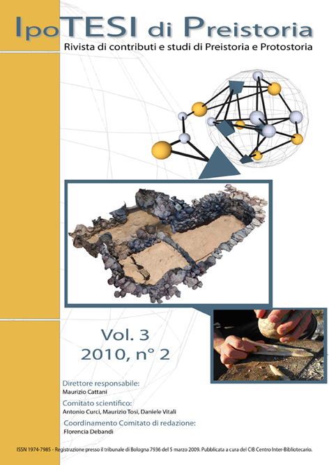
Three-dimensional recording in the archaeological excavation at the Bronze Age settlement of Mursia, Pantelleria.
DOI:
https://doi.org/10.6092/issn.1974-7985/2135Keywords:
Pantelleria, Mursia, three-dimensional models, software 3D, 3D topographic survey, Photomodeler ScannerAbstract
The purpose of this paper is to describe methods of documentation and detection techniques used on the archaeological site of Mursia (Pantelleria, TP) in order to build three-dimensional models of a hut and a stone mortar. The software measures three-dimensional coordinates of a finite set of points on the object using two photographs taken from different positions (stereo pairs). In particular, we explore some technical aspects of data processing like quickness, measurement accuracy, information content of record and equipments cost.
Downloads
Published
How to Cite
Issue
Section
License
Copyright (c) 2010 Andrea Fiorini
Copyright for articles published in this journal is retained by the authors, with first publication rights granted to the journal. The authors agree when submitting their work that it can be copied by anyone for noncommercial purposes but only if proper credit is given. Thus by virtue of their appearance in this open access journal, the articles have been declared free to use, with proper attribution, in noncommercial settings. All authors are responsible for the content of their work, including proper citation, attribution and usage permissions.
See also our Open Access Policy.


